
In this post
 Glad you're hereLet's explore Korea together
Looking for a mountain you can reach by subway from Seoul?
If you’re new to hiking, the Ui-dong route is a good way up Bukhansan’s Baegundae Peak (북한산 백운대). I’ll show you how to reach the trailhead by public transportation, how long each section takes, the trail entry hours, and what to bring in winter.
At a glance
· Location: Ui-dong, Gangbuk-gu, Seoul (Bukhansan Ui Station) · Bukhansanseong side, Eunpyeong-gu (Gupabal Station)
· Beginner route: Baegundae Visitor Center → Harujae → Baegundae Shelter → Baegunbongammun Gate → Baegundae Peak, 1.9 km one way · 1 hour 30 minutes
· Trail entry: From 4 a.m.; entry closes at 4 p.m. or 5 p.m.
· Admission: Free · Closed days: None (access may be restricted because of weather)
· Good for: Anyone who wants to reach a mountain summit and return in a day from Seoul
What is Bukhansan’s Baegundae Peak?
Baegundae is a peak in Bukhansan National Park (북한산국립공원). It’s 836.5 m high.
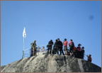
The Taegukgi (태극기), the Korean flag, flies on the summit rocks all year.
Bukhansan National Park stretches across Seoul and Gyeonggi-do (경기도). It covers about 76.922 km² and is Korea’s 15th national park.
You can reach the trailheads from central Seoul by subway and bus. The Korea National Park Service describes the Baegundae course as a day hike. Even travelers without a car can make the trip in a day.
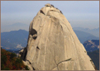
On the way up Baegundae, you can also see other peaks, including Insubong Peak (인수봉, 810.5 m), Wonhyobong Peak (원효봉), and Yeomchobong Peak (염초봉).
The beginner route to Baegundae from Ui-dong: Distance and time by section
If it’s your first time hiking here, I recommend the Baegundae course from the Ui-dong (우이동) side. From Baegundae Visitor Center (백운대탐방지원센터), the national park information center, it’s 1.9 km and 1 hour 30 minutes one way to the summit.
The Korea National Park Service rates the course as moderate. According to Korea Tourism Organization guidance, it’s the shortest route and relatively less difficult. That makes it suitable for first-time hikers.
The route goes from Doseonsa Temple (도선사) → Harujae Pass (하루재) → Baegundae Shelter (백운대피소) → Baegunbongammun Gate (백운봉암문) → Baegundae Peak.
First, start at Doseon Plaza in front of Doseonsa Temple
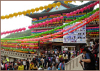
Doseonsa Temple is at the trail entrance. The course starts when you reach Doseon Plaza (도선광장), above the temple.
There are restrooms at the plaza. Use them before heading up the mountain.
The area gets crowded on days when the temple holds a major event.
Next, 30 minutes to Harujae Pass
From Baegundae Visitor Center to Harujae Pass, it’s 0.8 km and 30 minutes.
The trail alternates between dirt and stone. This section is rated moderate.
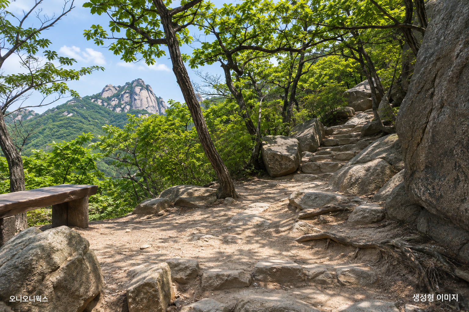
From Harujae Pass to Baegundae Shelter: 40 minutes
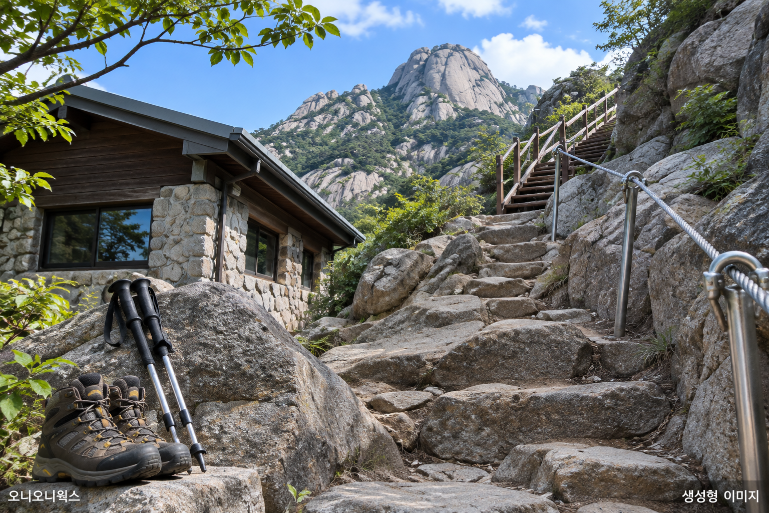
From Harujae Pass to Baegundae Shelter, a rest building on the mountain, it’s 0.6 km and 40 minutes.
You’ll pass stone steps and rocky paths. There are steel cables and wooden stairs.
It’s easy to injure an ankle on this section. Bring hiking boots and trekking poles.
Finally, past Baegunbongammun Gate to the summit: 20 minutes
From Baegundae Shelter to the summit, it’s 0.5 km and 20 minutes. It’s a short distance, but it’s the steepest section of the course.
You’ll pass through Baegunbongammun Gate along the way. It’s a small gate in the wall of Bukhansanseong Fortress (북한산성), also called Wimun Gate (위문). The summit is about 300 m from the gate.
Above the gate, there are stone steps and wooden stairs. The path gets narrow and steep near the summit. Steel cables are in place on the difficult sections. Hold on to them as you climb.
Oni’s tip
Take a good rest at Baegundae Shelter before the final 20-minute climb. The Korea National Park Service also recommends resting here before continuing. Restricted areas around the summit have a risk of falls. Stay on the marked trail.
How to get to Baegundae: Bukhansan Ui Station and Gupabal Station
There are two trailheads for Baegundae. Start the beginner route from Bukhansan Ui Station (북한산우이역) on the Ui-Sinseol Line (우이신설선), or the Bukhansanseong course from Gupabal Station (구파발역) on Subway Line 3.
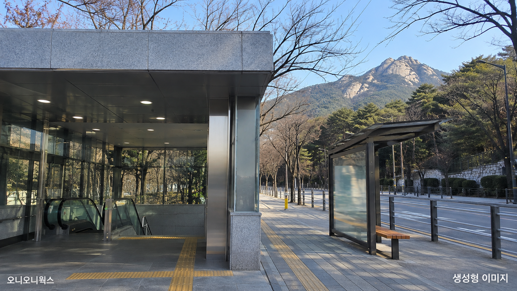
Ui-dong side — walk from Bukhansan Ui Station to Doseon Plaza
First, get off at Bukhansan Ui Station on the Ui-Sinseol Line. Hikers use Exit 2.
It’s 0.8 km from Ui-dong to the Ui Ranger Station (우이분소), a national park management office.
Then walk 2.0 km, or 30 minutes, from the ranger station to Doseon Plaza. This is an asphalt road.
Here’s the way:
- Enter Ui Valley Road (우이계곡길) from the Ui Ranger Station across from Bonghwanggak (봉황각).
- Pass Segyehwa Restroom (세계화화장실).
- Near Seonungyo Bridge (선운교), the road splits. Take the right fork toward Baegundae.
- Climb the steep slope on Doseonsa-gil Road (도선사길). From Buchimbawi Rock (붙임바위), the path becomes a wooden deck.
- When you reach Doseon Plaza, the Baegundae course begins.
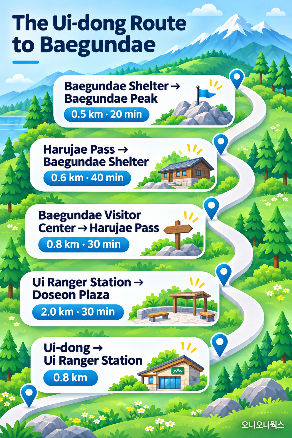
In a map app such as Naver Map or KakaoMap, search for 「백운대탐방지원센터」 or 「도선사」.
Bukhansanseong side — from Gupabal Station
The address of Bukhansanseong Visitor Center (북한산성탐방지원센터) is 서울시 은평구 대서문길 45. There are restrooms right beside the center.
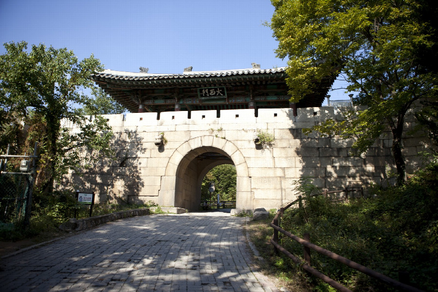
This course climbs from Bukhansanseong Visitor Center → Daeseomun Gate (대서문) → Borisa Temple (보리사) → Baegundae, and is 3.4 km and 2 hours 40 minutes one way.
- From the center to Daeseomun Gate, it’s 0.8 km and 30 minutes. Go straight between the outdoor stores, then take the right fork toward the road at the first split.
- From Daeseomun Gate to Borisa Temple, it’s 1.1 km and 40 minutes. At the three-way junction in front of the endangered plant garden, take the left path toward Baegundae.
- From Borisa Temple to Baegundae, it’s 1.5 km and 1 hour 30 minutes. The roughly 500 m before Baegunbongammun Gate is the toughest climb on this course.
The route starts on a gently sloping paved road and becomes a steep rocky path partway up. Wild boars may appear on this trail.
| Course | Starting point | One-way distance and time | Difficulty |
|---|---|---|---|
| Baegundae course (Ui-dong) | Baegundae Visitor Center | 1.9 km · 1 hour 30 minutes | Moderate |
| Bukhansanseong course | Bukhansanseong Visitor Center | 3.4 km · 2 hours 40 minutes | Moderate |
Allow separate time for the descent. For a first hike, I’d go up the Ui-dong route and come back the same way. It’s the shortest route, and you can walk to the trailhead from the station.
 WelcomeLet's explore Korea together
Baegundae trail entry hours, fees, and winter gear
There’s no admission fee for the national park. The trails are open year-round. There are set trail entry hours.
You can enter the trails toward Baegundae from 4 a.m. Entry closes at 4 p.m. in winter and 5 p.m. in summer.
| Item | Details |
|---|---|
| Trail entry hours | From 4 a.m. (entry closes at 4 p.m. in winter and 5 p.m. in summer) |
| Closed days | None; access may be restricted in bad weather |
| Admission | Free |
| Parking | Bukhansanseong Parking Lots 1 and 2 (paid; 1,100 won for the first hour for a small vehicle) · No park service parking lot on the Ui-dong side |
| Contact | Bukhansan National Park Office 02-909-0497 · Baegundae Visitor Center 02-905-8062 |
You can check access updates under 「통제정보」 on the Korea National Park Service website.
You’ll need crampons in winter
Many parts of the trail freeze in winter. The Korea National Park Service says you must wear crampons (metal traction devices fitted to the bottoms of your shoes) when hiking in winter.
Here’s what else to bring:
- There are lots of rocks, so you’ll need hiking boots with good grip.
- Bring trekking poles, too. The Korea National Park Service recommends them along with hiking boots.
- You’ll hold steel cables on the rocky sections. Bring non-slip gloves.
- Buy water and food at the foot of the mountain before you go up.
Oni’s tip
The Korea National Park Service recommends planning your hike around your fitness and sunset time. I’d plan around the 4 p.m. entry cutoff and leave Doseon Plaza in the morning.
What hikers say about Bukhansan’s Baegundae Peak
Hikers say the area near the summit gets very crowded on weekends. They report lining up to climb the rocky section below the top.
One person who visited on a Saturday in November said the line was so long that they turned back before reaching the flag. The Korea National Park Service also says weekend crowds can make the trip to the summit take much longer.
Some hikers say they had to wait in line for a photo in front of the summit flag even on a weekday.
Hiking times vary from person to person. One weekday visitor reached the summit from the visitor center in about 1 hour 10 minutes.
Hikers’ reports of the walk from Exit 2 of Bukhansan Ui Station to the visitor center or Doseonsa Temple range from 20 minutes to 1 hour. Use the Korea National Park Service’s distances and times as a guide, and allow plenty of time.
Some hikers also shared these experiences:
- In mid-March, ice remained in a shaded area beside Insuam Hermitage (인수암).
- One person bought gimbap (김밥, rice and fillings rolled in seaweed) at the foot of the mountain and ate it below Baegundae Shelter.
- Another reported restrooms beside Insuam Hermitage and at Baegundae Shelter.
A place to visit nearby
Stop by Doseonsa Temple on your way down. Some visitors have stopped there to see the fall colors.
Oni’s tip
If you want a photo in front of the summit flag, go on a weekday. On weekends, you may wait a long time just below the summit.
I’d recommend Bukhansan’s Baegundae Peak if you want to take the subway from Seoul and reach a summit and return in a day. If it’s your first time, the Ui-dong route from Bukhansan Ui Station is the shortest.
Trail entry cutoff times and bus routes can change. Before you go, check the Korea National Park Service website or call the Bukhansan National Park Office at 02-909-0497.
If you’re going in winter, make sure to pack crampons. Enjoy your trip to Seoul!
― ― ―
This article was prepared on November 18, 2026, using public guidance from the Korea National Park Service and Korea Tourism Organization, along with hikers’ accounts. Trail entry hours, restricted sections, and bus routes can change.
References: Korea National Park Service, Bukhansan National Park, 「백운대코스」 and 「북한산성코스」 course guides · Korea National Park Service, 「입산시간지정제」 · Korea National Park Service, 「통제정보」 · Korea National Park Service, Bukhansan, 「요금안내」 · Korea National Park Service, Bukhansan National Park visitor map · Korea Tourism Organization, 「북한산국립공원(서울)」 · Korea Tourism Organization, 「북한산 백운대(우이동)」 · Seoul Metropolitan Government, 「북한산 백운대 산행기」 · Seoul Metropolitan Government, 「단풍 따라 떠난 북한산 산행, 100년 역사의 백운산장을 만나다」 · Korea Policy Briefing, 「국립공원 ‘시인마을’ 운영 1년」 · Naver Blog accounts (https://blog.naver.com/jsjs_100/224435134477 · https://blog.naver.com/snogirl/224475518805 · https://blog.naver.com/santayool/224429580056 · https://blog.naver.com/v_itamin/224457596115)
Photo credits: GPT 생성형 이미지 · 국립공원공단 [https://main.knps.or.kr/upload/bukhan_bwd_img25.jpg] · 국립공원공단 [https://main.knps.or.kr/upload/bukhan_bwd_img24.jpg] · 국립공원공단 [https://main.knps.or.kr/upload/bukhan_bwd_img18.jpg] · 국립공원공단 [https://main.knps.or.kr/upload/bukhan_bwd_img22.jpg] · 서울연구데이터서비스 [https://data.si.re.kr/sites/default/files/photos/05V00601Aa2000.jpg]